Komsomolets Peak, as introduced by @ruslan_27n, was first attempted back in the Autumn of 2022 with my guide @jamil_jumabekov and Sergey of @activeshop_kg. A windy day and me getting the shock of the biting cold, we called it quits midway through that time.
Fast forward to the Summer of 2024, I came back to Kyrgyzstan during my sabbatical trip and the first agenda is none other than the Komsomolets Peak. Unfortunately, Jamil who was my original guide had a last-minute schedule change and I went with Nurbolot @esenkojoev.n instead, a good friend of Jamil. Finally, after two attempts, I reached the peak!
Disclaimer: The first hike was arranged by Beka @kyrgyzgirl__. On the second attempt, the hike was arranged directly with the guide but Beka assisted us with the transportation (she dropped us off at the park).
Komsomolets Peak Trail Overview:
- Route: Komsomolets Peak Trail
- Distance: 17.57 km
- Highest Elevation reached: Summit at 4,204 MASL
- Elevation Gain: 2049 meters +/-
- Total Moving Time: 14 hours and 51 minutes
- Difficulty Level (own opinion): 3.5 out of 5
- Ideal time to hike this trail: June to September for a better weather condition
How to get there and how to get out?
As mentioned in my Ala Archa Hike to Ratsek Hut, while the marshrutka option is possible, I suggest you arrange your transfers in advance instead. Regardless of your confidence and capabilities, you will probably start early so the marshrutka may not be operating at that time either. To each their own for sure, but I highly suggest saving your energy for the hike and arranging your transfers (and guide) for safety concerns.
Arrange your transfers and tell them to drop/pick you up at Ala Archa Parking Lot (click for coordinates).
As of 2024, the average one-way cost of a taxi from the city of Bishkek to Ala Archa National Park (up to the parking lot) is 3,000 som. You may book a taxi through Yandex for a better rate but we have not tried it. Instead, we found a solo traveler and split the cost with him.
Hiking Trailhead:
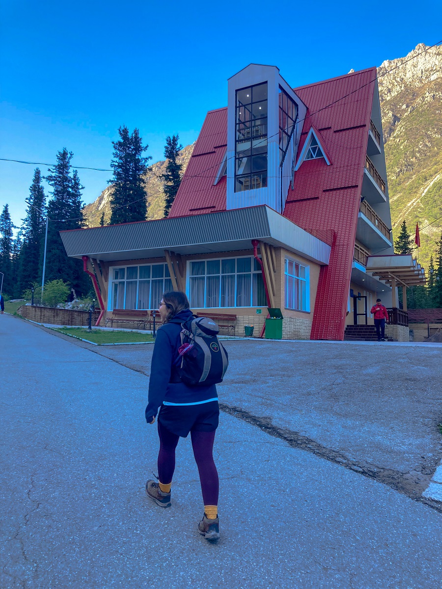
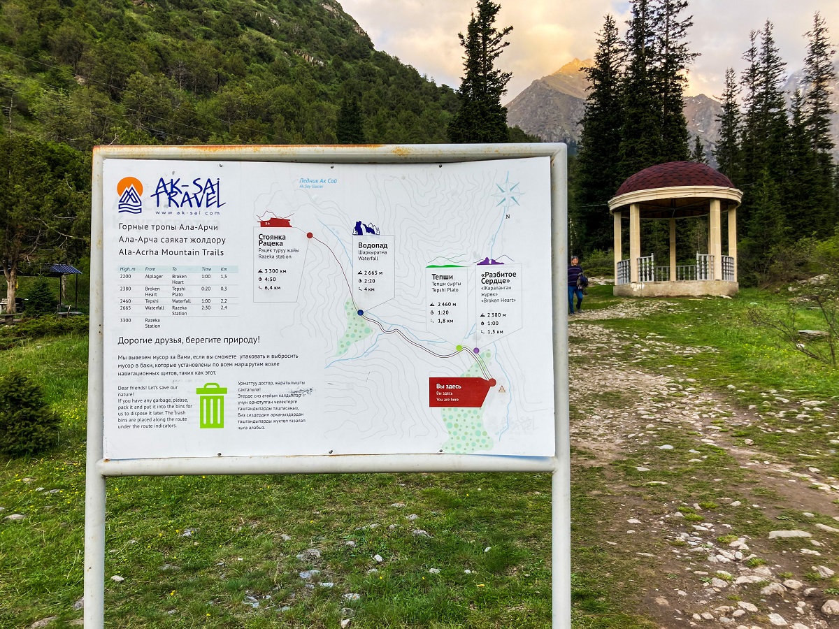
Similar to my hike towards Ratsek Hut, the actual trailhead starts at the Alplager Hut which is an A-frame structure with an accommodation facility (like a basic hotel).
On your left side is the map and the information of the trail which is the main trail towards the Waterfalls and the Ratsek Hut.
Hiking Trail Sections:
The trailhead (start of the trail) and the first few sections of the trail are the same trail towards Ratsek Hut. The trail will then split towards the left side of the plateau (Tepshi Plato) where you will start picking up the elevation.
You may refer to my Ala Archa Hike to Ratsek Hut post for more details about the first few sections. To give you a glimpse (or the easy way), keep on reading below.
1. Alplager Hut to Broken Heart & Tepshi Plato
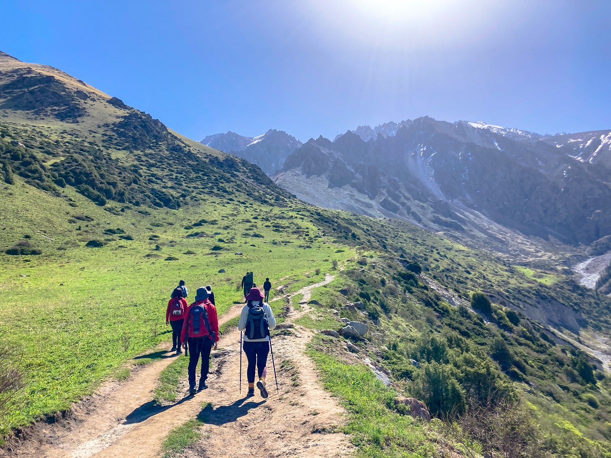
From the Alplager Hut, the trail is an easy hike in the woods with Conifer trees around you while the Ala Archa River is on your right side. An hour's worth of hike will take you to the Broken Heart, a big rock naturally split into two. The trail then continues towards the plateau which is called the Tepshi Plato.
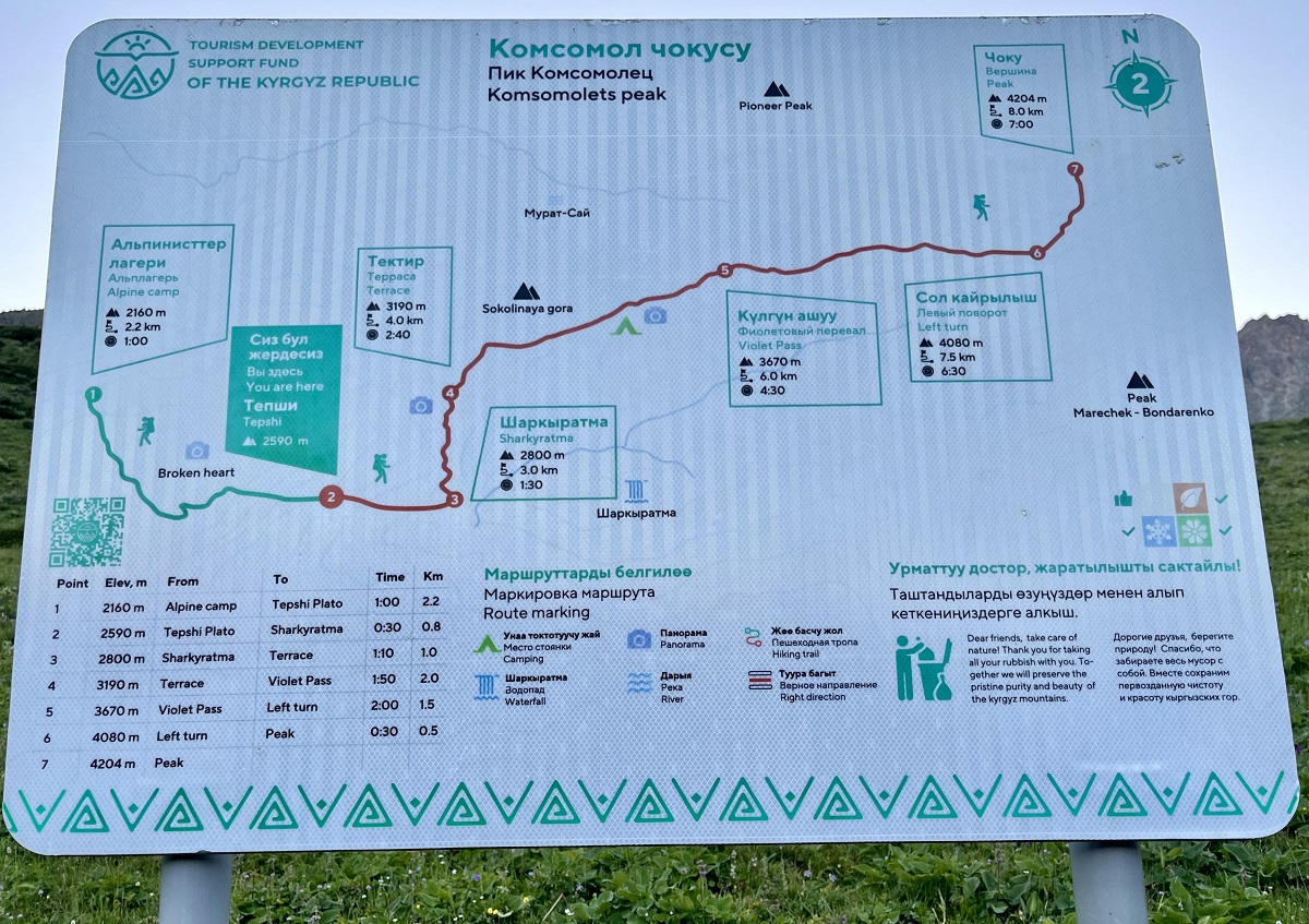
2. Tepshi Plato to Sharkyratma
From Tepshi Plato, walk a few more meters ahead and you will find a newly-placed map to guide you correctly.
This is the section where the trail splits into two - one trail goes to waterfalls and the Ratsek Hut (on the right) and one trail goes to Komsomolets Peak (on the left).
In the photo below (taken during spring), the flat portion is the plateau of Tepshi Plato. As you can see, there is a trail that goes down the slope which is the trail towards the waterfalls and the Ratsek hut. However, the Komsomolets Peak Trail is not an obvious one and will go up the slope which is on the left side (when you're facing the trail).
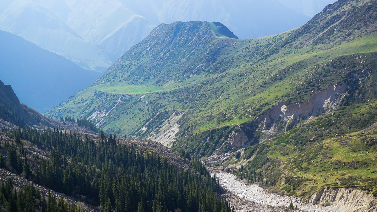
This is your last chance to enjoy the walk as the trail will start to pick up the elevation.
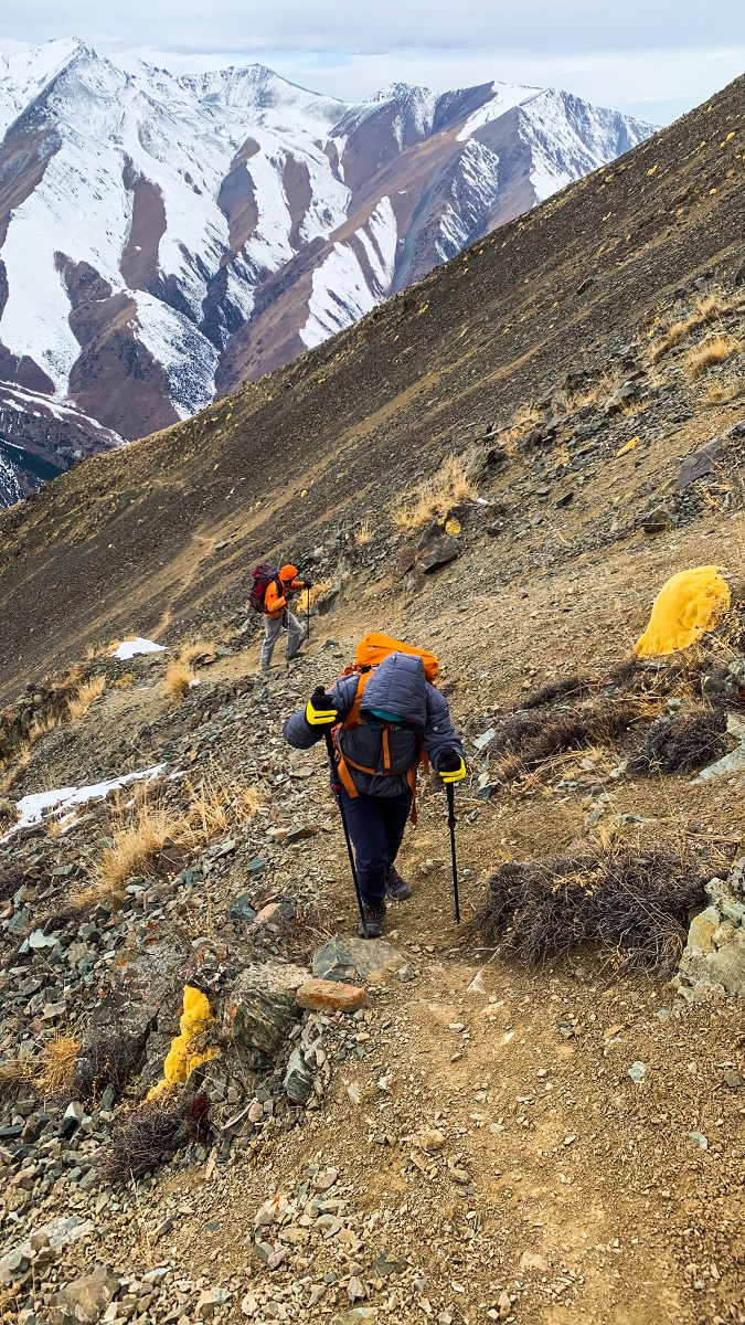
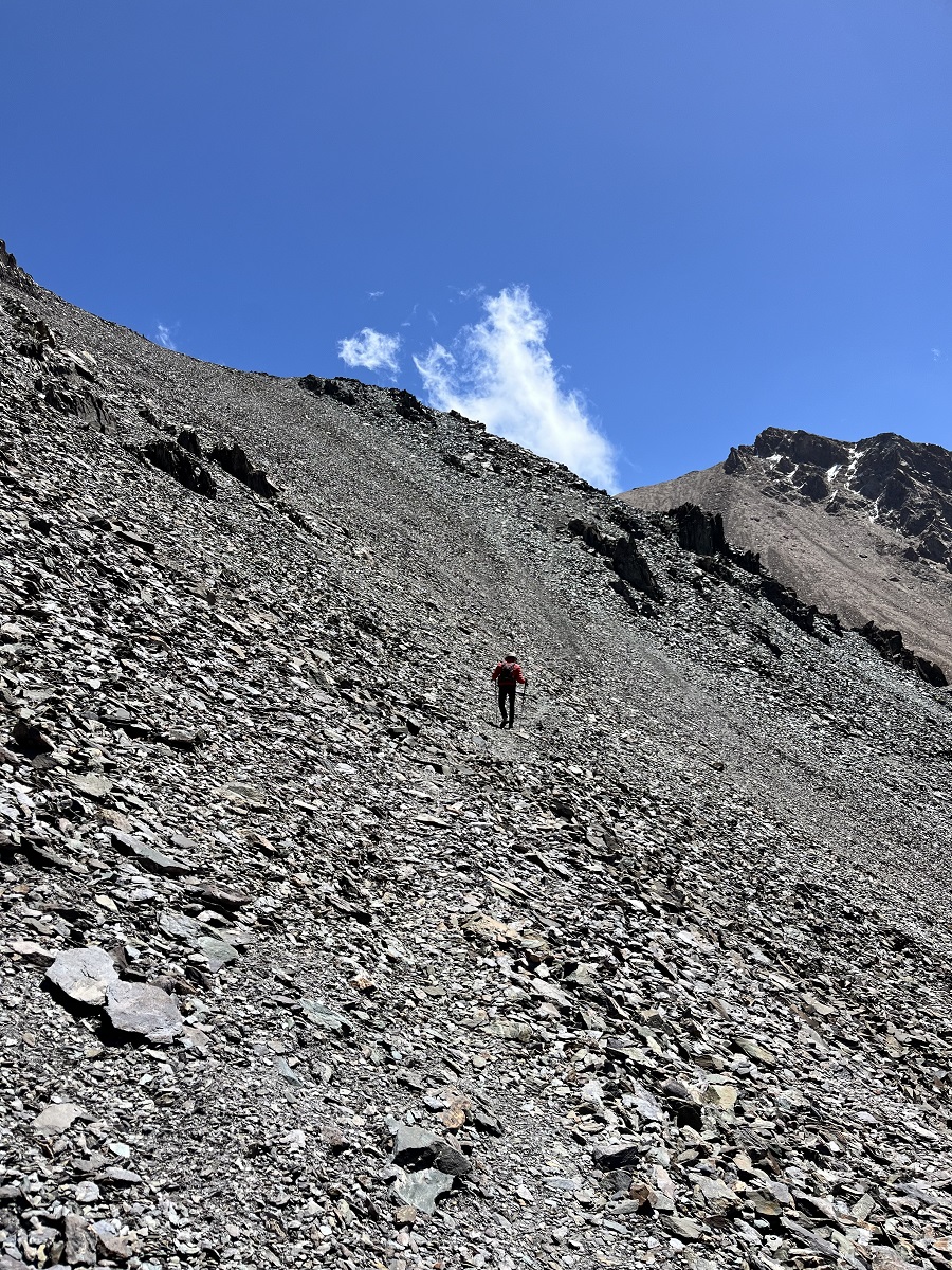
3. Sharkyratma to Terrace
The steep section awaits with loose rocks along the never-ending zigzag trail. Up to the terrace, which is a plateau, this section has no shade or anything but a few shrubs and grasses.
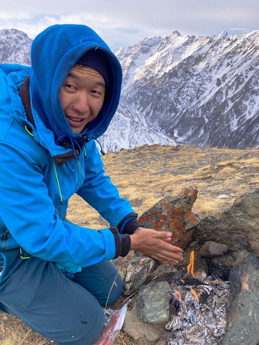
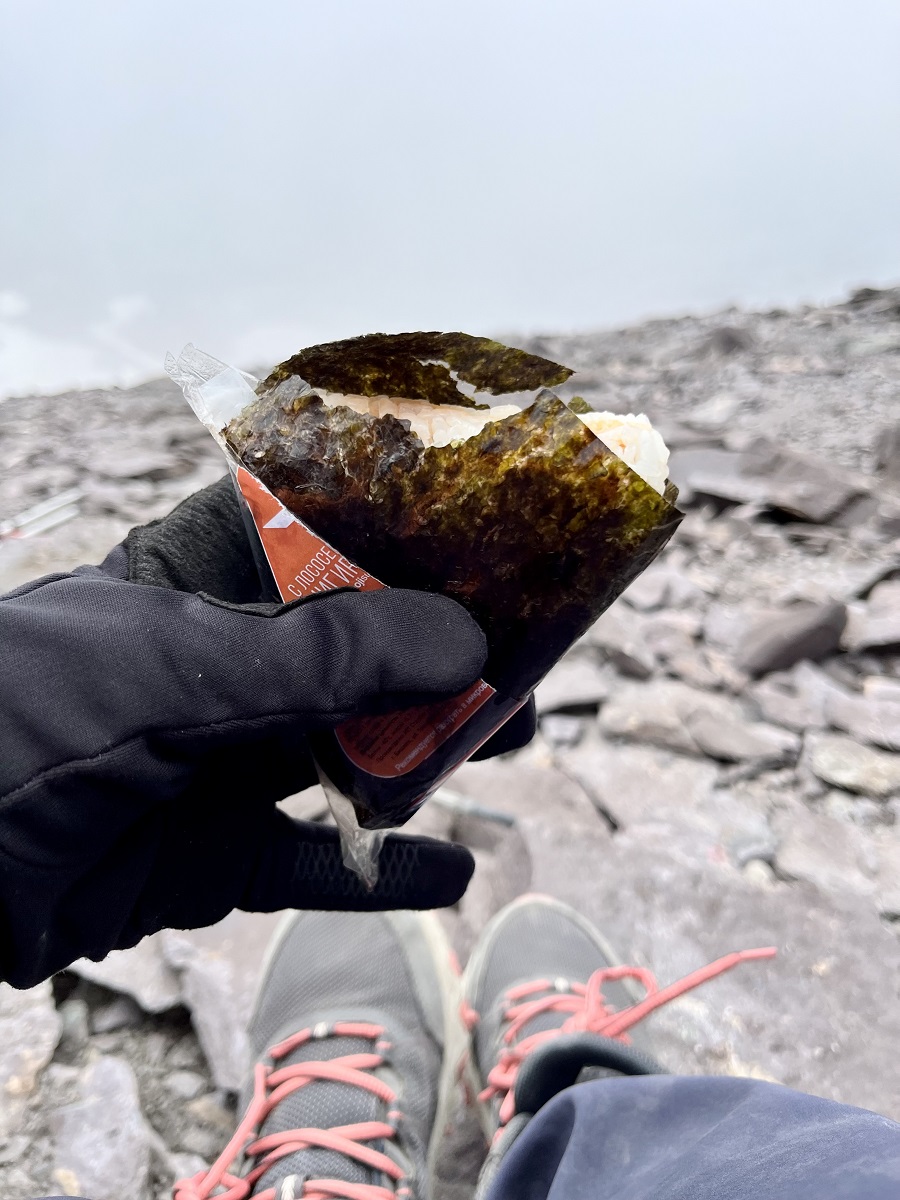
At the plateau which is called Terrace, we took a short rest for some food and warmth.
4. Terrace to Violet Pass
Coming from the terrace, the trail continues on its steep trail. Not only the trail is steep, but the slope itself is steep as well.
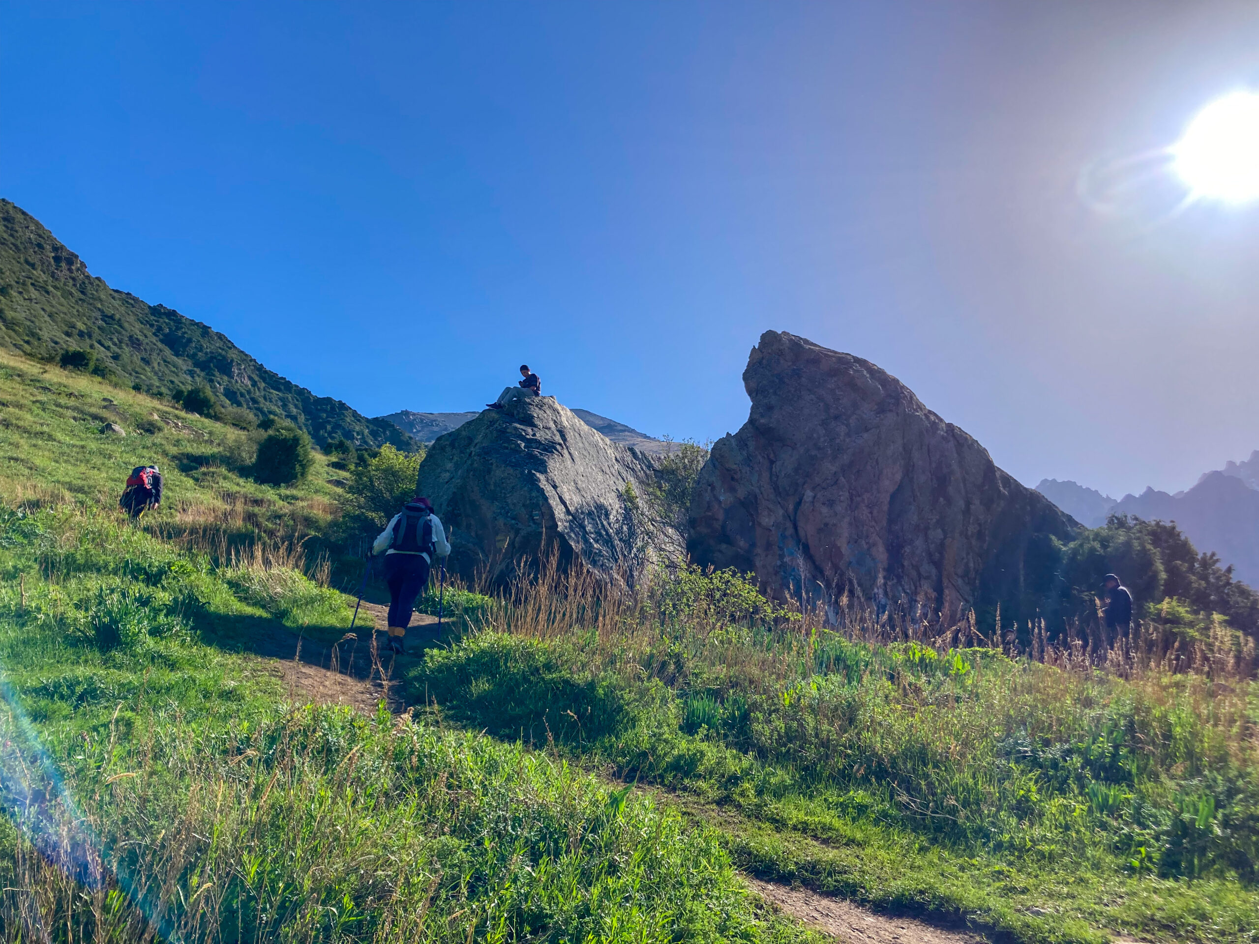
I won't be able to forget the narrow trail along the steep slope (photo on the left below) just before the ridge. It's not scary in person but I had incidents in the past of slightly sliding down a steep slope so this section gave me nothing but anxiety (on both attempts).
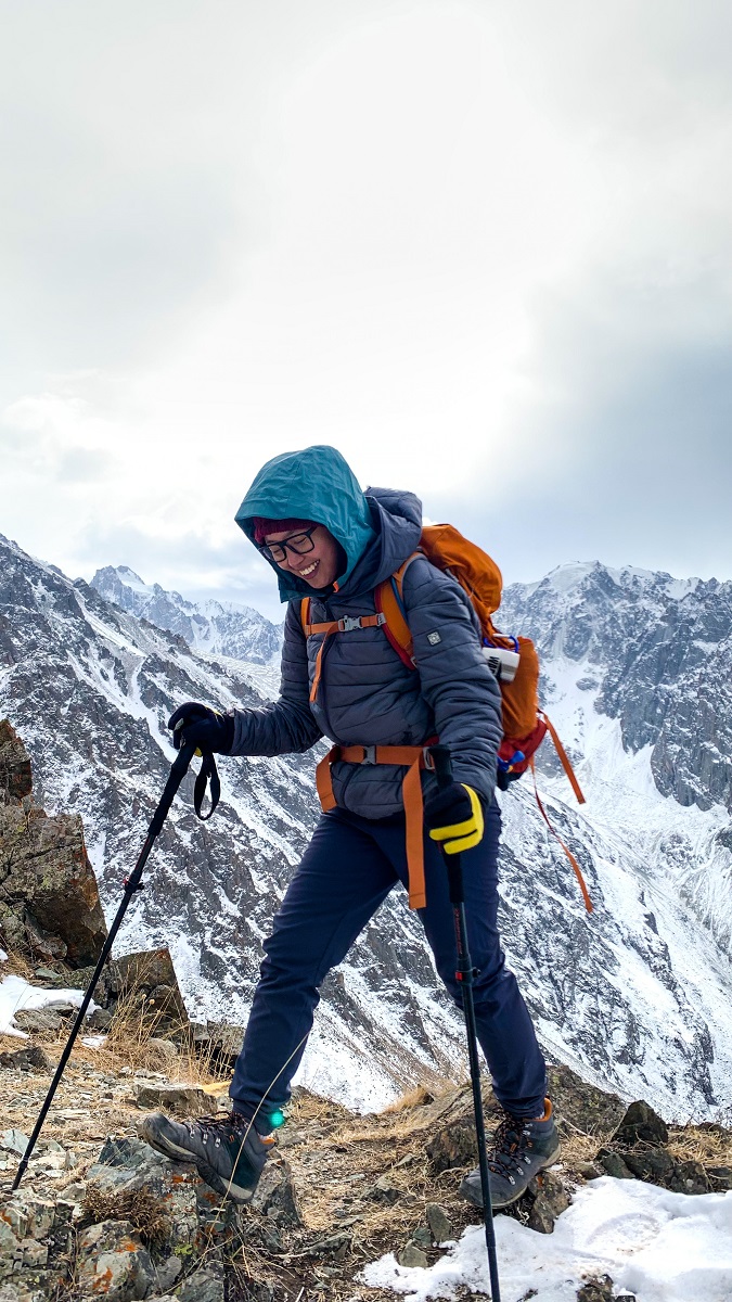
At the top of the slope is a small ridge which was my turnaround point during my first attempt. On my second attempt, we continued our hike and I was surprised that I still have a long way to go. Ridge after ridge is waiting for me.
Eventually, the slope became more gentle until we reached the Violet Pass.
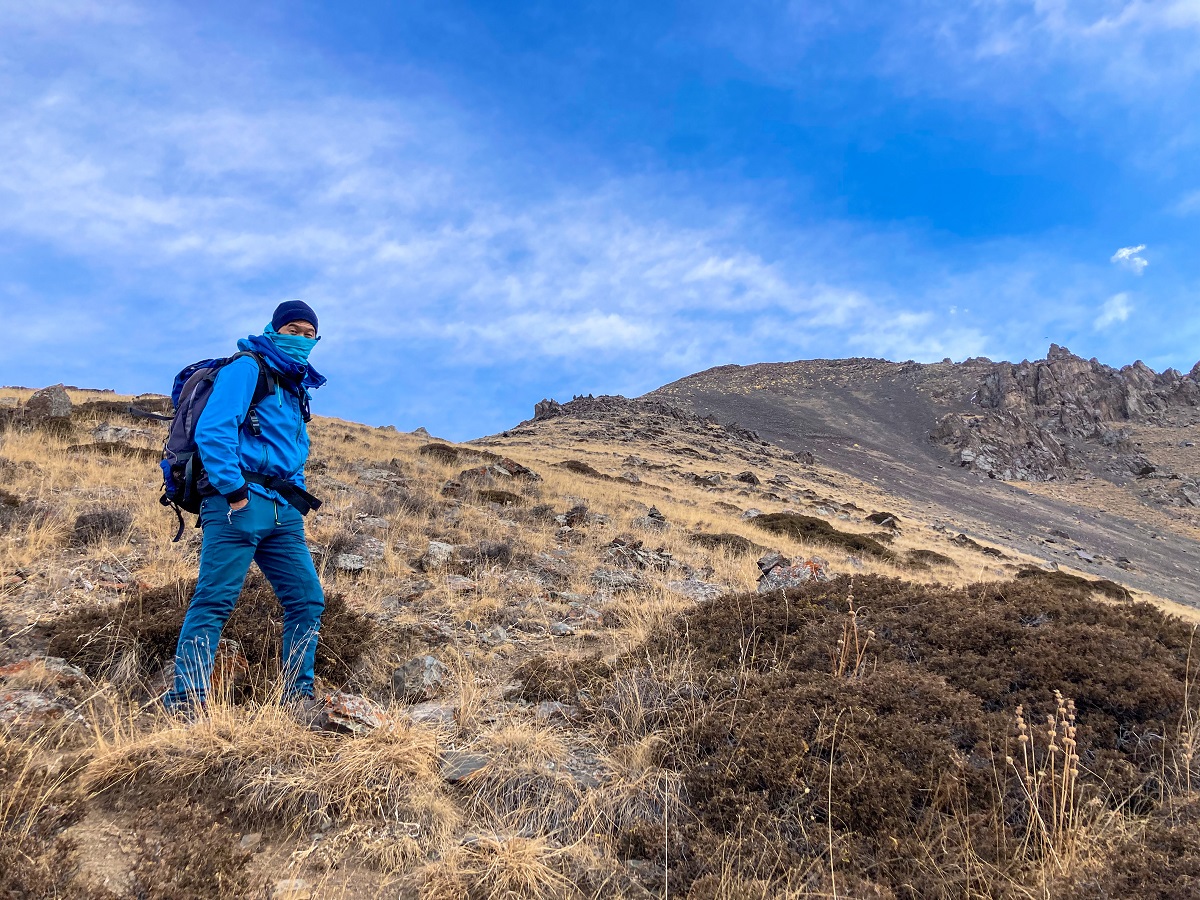
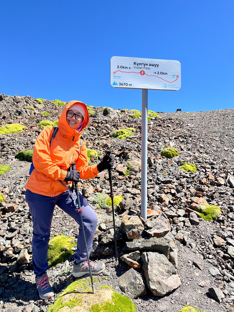
5. Violet Pass to Left Turn
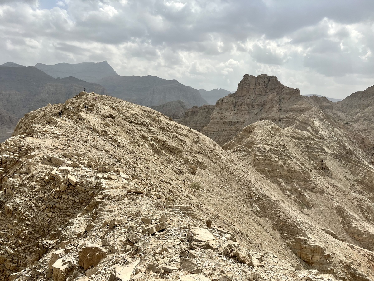
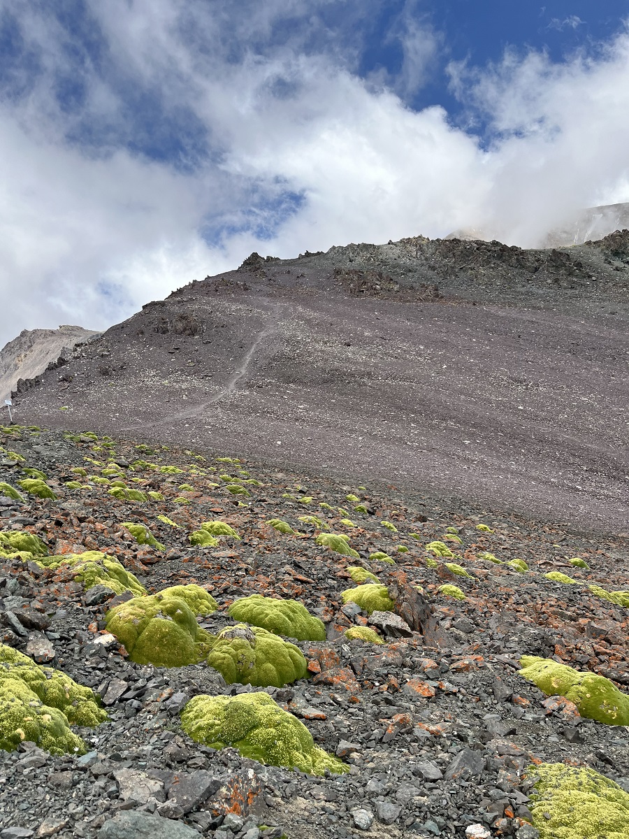
The landscape in Violet Pass has changed dramatically with little to no vegetation at all except for these cushion plants. Beyond the pass, the ridge has nothing but its ruggedness full of scree and gravel.
With my turtle-slow pace, I followed Nurbolot shyly while we started ascending the steep slope. Slope after slope, it was a long ridge where you could see all the nearby peaks due to the high elevation.
At this point, even the city of Bishkek is slightly visible depending on the weather and visibility.
6. Left Turn to Peak
I wish I had a photo of the last section, unfortunately, I was struggling to follow Nurbolot's steps so I focused on just walking. The steep slope came to an end and a gentle walk to the peak is left. There are some parts of the slope with ice but nothing on the trail anymore. If not for the high elevation, the trail would be gentle and easy but my poor lungs are still not well trained in the high elevation.
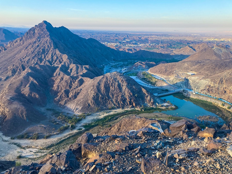
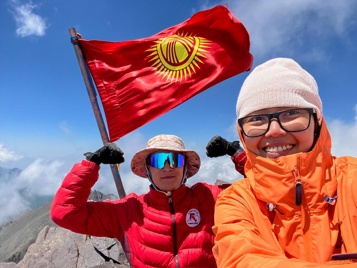
Despite my struggle, it wasn't as bad as my struggle in Mount Elgon in Uganda. The clouds kept on circling the peak but we were lucky enough to avoid rain and we reached the peak, finally!
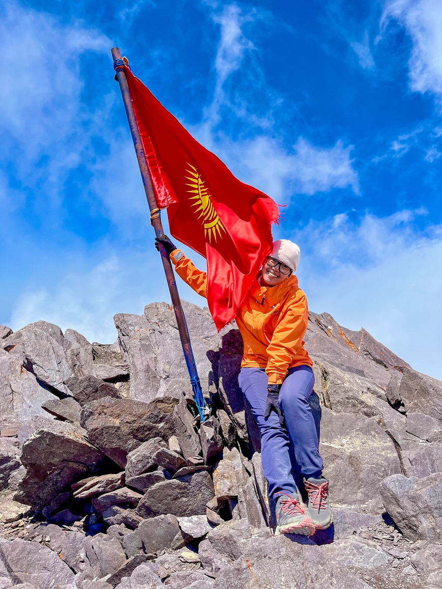
The flag of Kyrgyzstan marks the peak and apart from that, nothing is there. There was no shade too except for some jagged rocks which we took comfort in while we ate our lunch and had some nap. No more unfinished business here so it's time to go down. Adios!
Hiking Arrangements & Contact Groups:
You can hike this on your own as the trail is established and easy to follow. However, if you're interested in hiking with a guide (which I highly recommend), you may contact the following people whom I had a good experience with. The links below will take you to their Instagram accounts so take it away!
- Beka @kyrgyzgirl__ from @BeNomad. Not only she can arrange the guide, but also transportation and other tours around Kyrgyzstan.
- Guides Jamil & Nurbolot and both of them are affiliated with the Trekking Union of Kyrgyzstan. They are amazing and professional guides and I can't thank them enough for their knowledge and service.
Personal Thoughts on Komsomolets Peak Trail:
As I always say, we all have different adventure appetite or what I call ‘#hikeppetite’ to begin with. So, a good trail for me might not be a good trail for you and vice versa. And that’s completely okay, we don’t need to agree with anyone or everyone all the time. Anyhow, here’s what I think about hiking the Komsomolets Peak Trail:
Pros:
- The proximity of Ala Archa National Park makes it a quick getaway from Bishkek. You will be able to reach a four-thousander peak in a day and back in Bishkek the same day.
- The trail is established and easy to follow. Getting a trail guide is totally up to your preference and personal concerns.
- Compared to other four-thousander peaks nearby, Komsomolets Peak Trail is non-technical and it's a perfect training ground for your body and skills if you're training for alpine mountaineering.
Cons:
- Almost everywhere in Kyrgyzstan, it’s the public transportation issue. Getting to the trailhead by public transportation is possible but not the most comfortable option. Getting a taxi or an arranged transfer is the most comfortable but not the most affordable option.
- This is not a beginner-friendly hike. There are parts of the trail which is steep and it's a long hike up to the summit. The elevation gain is a big jump too so it may cause high-altitude sickness for some.
I liked the overall challenge of this trail-the distance, elevation, difficulty level, and access to high elevation peaks. It's exactly my kind of hiking appetite for a challenging day hike without going far from the city. But because of the steep slope in the middle part, I'm afraid I don't want to see them anytime soon lol!
So long Komsomolets Peak, you’re an end to my beginning. So many lessons and beautiful memories we’ve shared, and I’m forever grateful. Now I’m signing off!
Whatever decision you make, always remember to prepare beforehand, stay safe, and last but not least, enjoy the outdoors! #happyhiking!
With lots of love,
PINAYHAKAWATI 💗
AND AS A GENTLE OUTDOOR ETHICS REMINDER:
LEAVE NO TRACE!