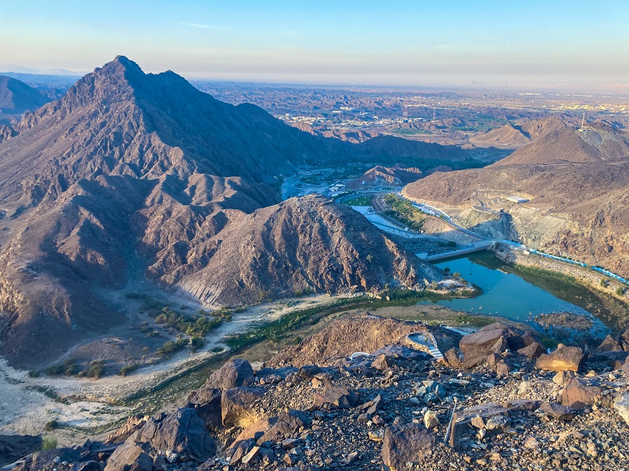
As a fan (lately) of long-distance trails, I've been researching long-distance trails outside the UAE. Upon looking back at my posts (RAKTRAV 2020 & RAKTRAV 2021), I realized I didn't write detailed hiking guides even though I have a Trail Route Post. So here I am, starting this series with the most memorable one for me - the Wadi Naqab Loop Trail (as FOX.AE calls it).
💡 Ready for more hiking adventures in the UAE? Start exploring these trails now:
- Wadi Shawka Loop Trail (Shawka Dam, Stairs and Back!)
- Wadi Nahela & Baqal Caves
- Hidden Oasis (between Jebel Jais & Wadi of Giants)
- Wafi Trail
- Wadi Al Far
- Banayad Trail
- Stairway to Heaven Full Loop Trail (NOT the right bank!)
Hiking Trail Overview:
- Route: Wadi Naqab - Sheri Village - Jebel Yibir - Tala Village - Baqal Village - Wadi Naqab
- Distance: 33.24 km (missing a few sections when I paused it and forgot to continue)
- Moving Time: 12:06:21 (according to my drunken Strava record which is not accurate)
- Actual Time Taken: Started at 9:30 AM and finished at 7:30 AM
- Difficulty Level (own opinion): 3.5 out of 5
How to get there and how to get out?
As I always mention about hiking in UAE, jump-offs or trailheads are not usually accessible by public transportation. Hence I do not include an option of public transportation anymore. However, you will find the coordinates of the parking location and the trailhead below for your reference.
I highly recommend starting here as this is your endpoint. This point is quite far from the actual jump-off of Sheri Village and you will need to walk quite a bit. However, it is better to walk before your hike than do so at the end of your hike.
Trailhead:
The trailhead is just the same trail towards Sheri Village. You may check THIS trail guide from Wikiloc uploaded by a member named Patrick Vijay D'Silva.
I want to highlight that if you know you can't finish the whole loop, take the trail back from Sheri village right away. That will be easier instead of pushing ahead and quitting when you reached Jebel Yibir already. The distance between the two is not a joke and Jebel Yibir is way too far (to come back to your car) in case you can't go any further. So before you start the hike, please take note of this reminder SERIOUSLY.
Hiking Trail Sections:
1. Sheri Village
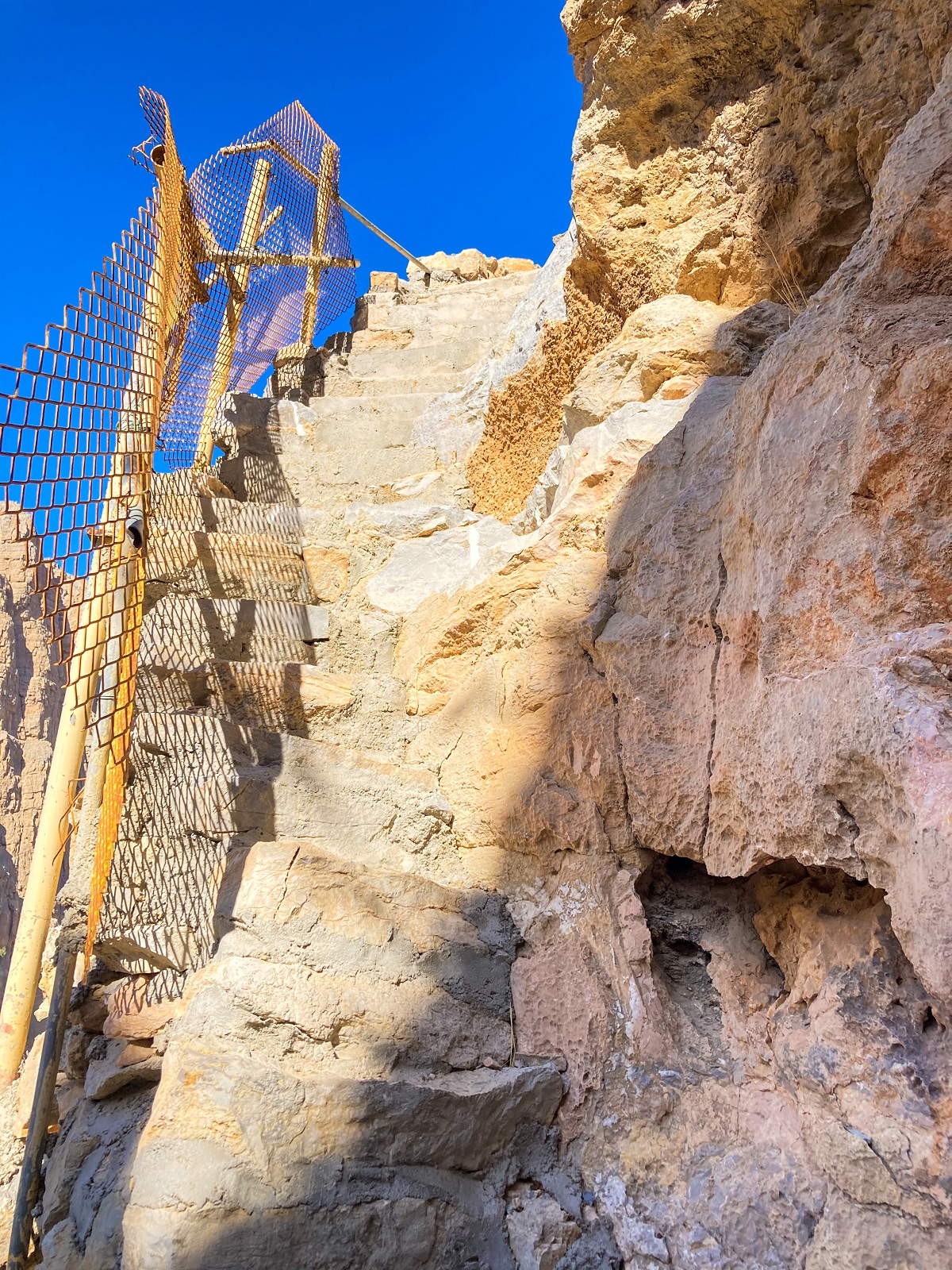
Upon starting your hike in the wadi, you will come across some boulders. A few meters ahead, you will encounter a bat cave and some set of stairs. After this point, there's a short section of loose rocks and a steep section and then eventually Sheri Village is in front of you.
Sheri Village or some call it ghost town, is a village on this trail with few private houses. Most of the time, you will encounter the caretakers of the houses, and if you're lucky, maybe the owners too.
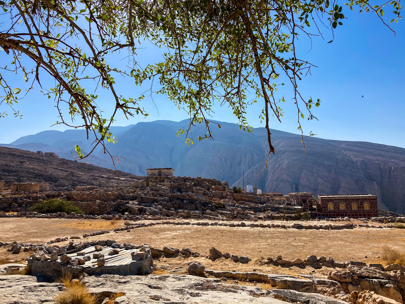
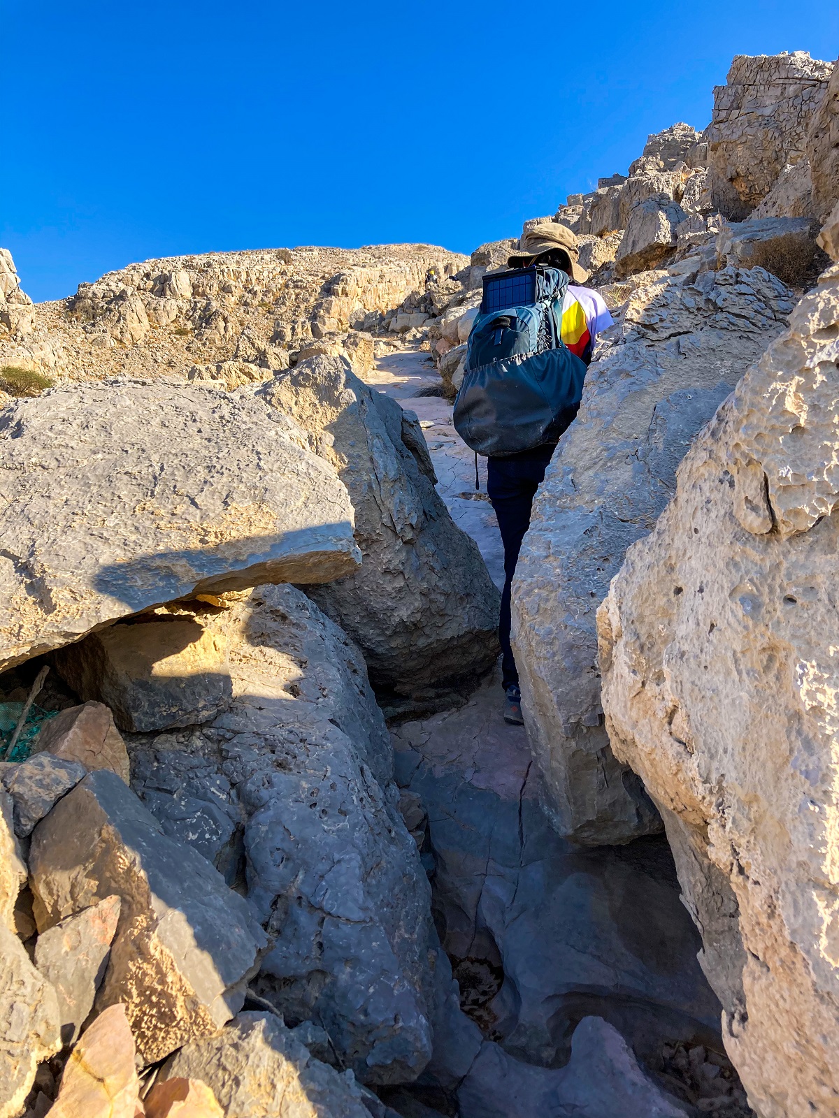
There are only a few spots with a shade to rest or to take lunch. The trail ahead is also exposed to the sun. As you continue your hike, there are two options, either squeeze yourself between rocks on the left or a rocky slope on the right (but very exposed to the sun).
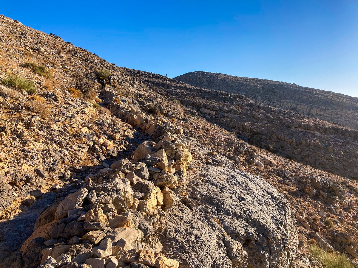
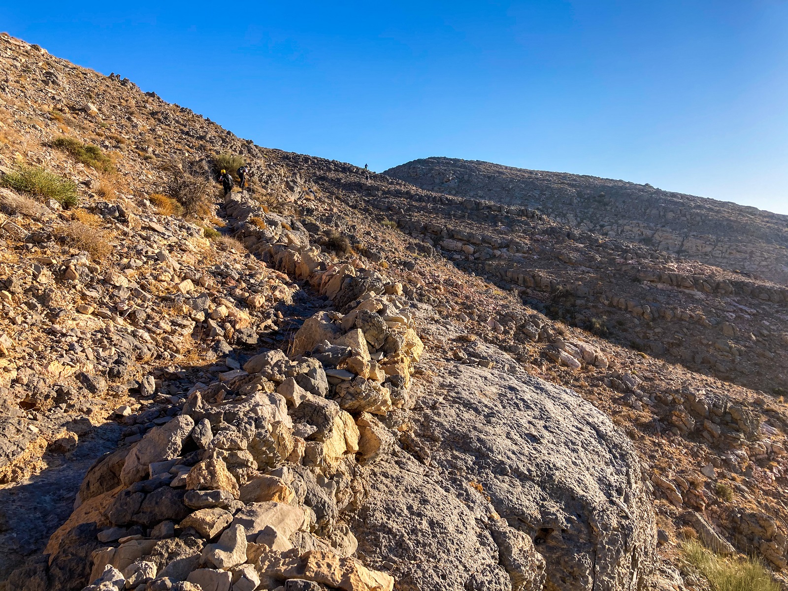
The trail goes higher and you can follow this visible trail to reach the highest point of this hill.
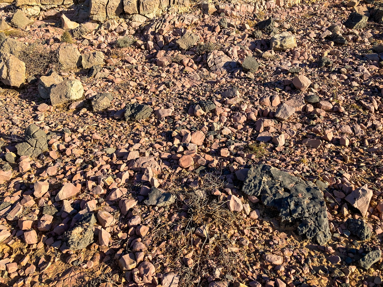
A few meters ahead, you will encounter these pink rocks and you cannot not notice them. The striking pink color reminds me of candies and cotton candies although my photo can't give justice to how beautiful it is with the naked eye.
2. Rolling Section & Jebel Yibir
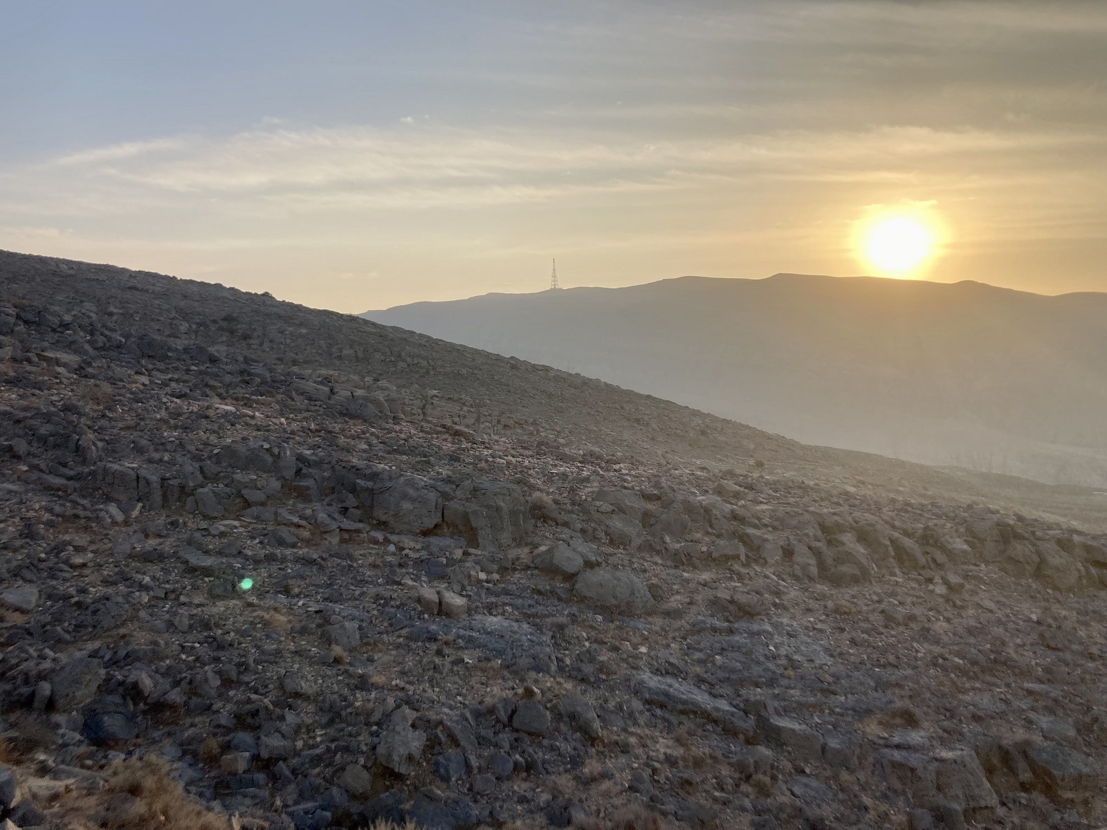
As you reach the highest point of the hill, there's a plateau/saddle opposite where you can take a break. Jebel Yibir's Tower is now visible from this part but still beyond reach. However, the hike from here is a rolling section which is way easier than the climb up towards Sheri Village.
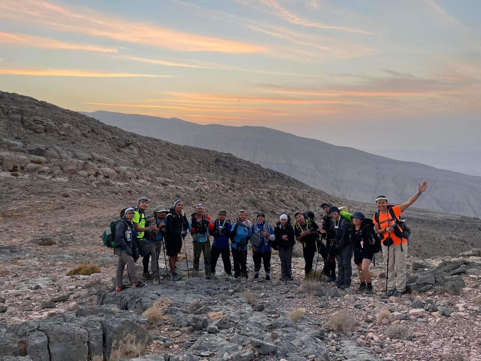
During RAKTRAV2020, we crossed a few hills by following the donkey trail and then went down the wadi. When we crossed to the other side of the wadi, we just made our way uphill until we hit a small village (a house or two) and met the Pakistani shepherds.
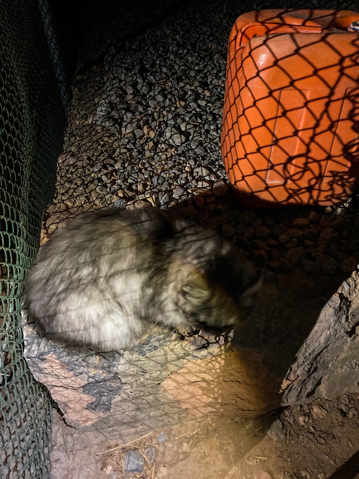
Not sure if it's the correct name of the village, but I heard they called it Qanan Village. We met the Pakistani shepherds here and were offered some water while we played with the cat.
From this point onwards, it was a struggle to find the donkey trail that would lead towards Jebel Yibir.
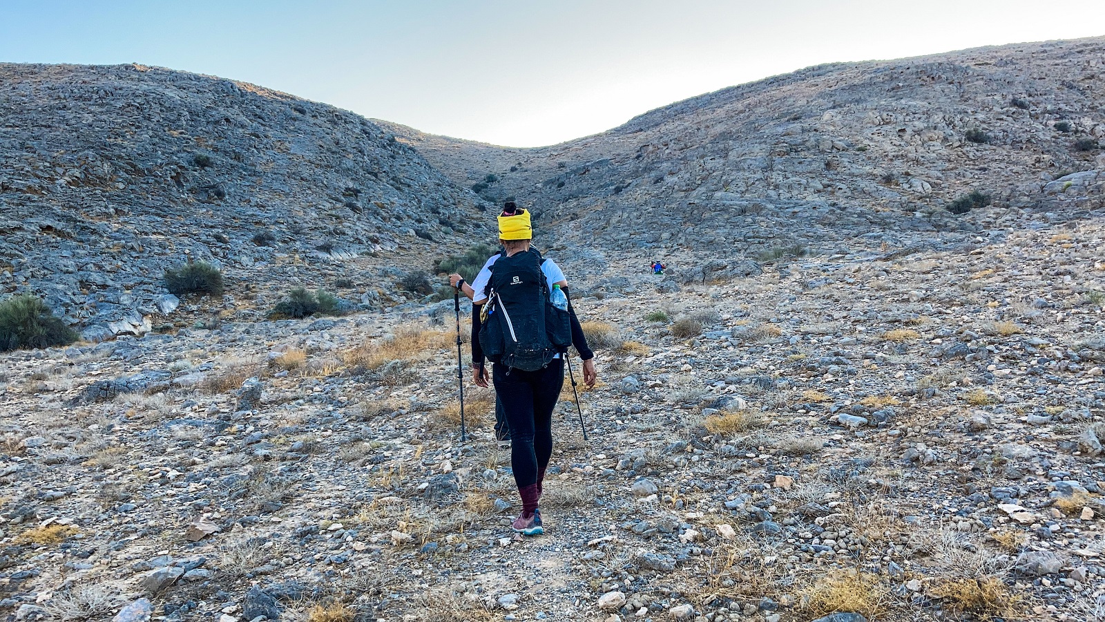
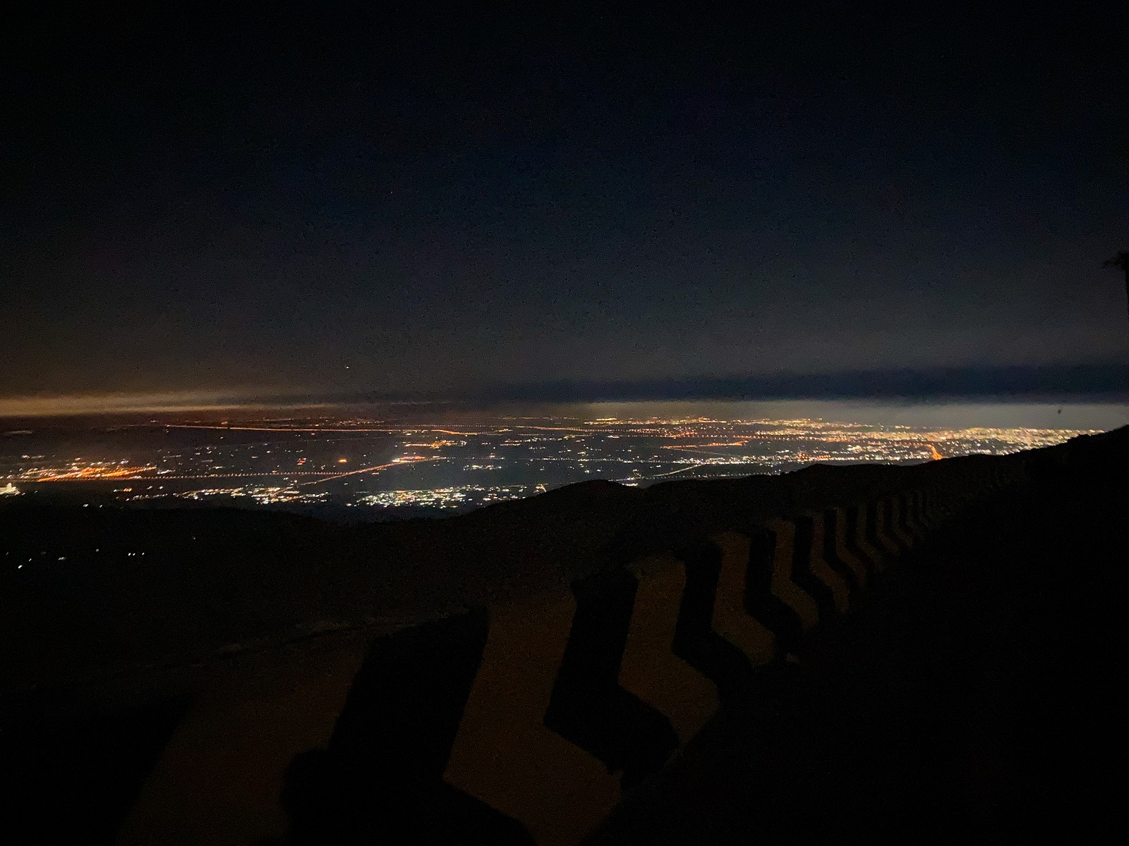
During RAKTRAV2021, we followed the donkey trail from the plateau and did not go down the wadi anymore. This way, Qanan Village remained on the other right side although I didn't notice it right away since it was quite dark already.
We kept following the donkey trail albeit longer. However, the trail is established and quite visible which made the hike easier. We passed by some slopes and plateaus along the way until we needed to hike up to reach Jebel Yibir's main road.
3. Tala Village & Baqal Village
A few meters down the road of Jebel Yibir, we eventually took a dirt trail on the right side. The dirt trail leads to a lot of uphill and downhill sections and then small wadis. We crossed a few wadis and found ourselves in Tala village, with few private houses and plateaus.
Going out of Tala Village seems confusing (at least for me) so be careful not to end up on the 'old trail' towards Baqal Village. We did the old trail last RAKTRAV2020 and we were surprised by the boulders which is not really recommended. It is easy to get lost in the boulders section so I urge you to look for the new trail which is at the right side of the village/plateau. This trail is a donkey trail and it is an easy walk with an amazing view of Baqal.
Following the donkey trail, you will reach Baqal village by hiking down a few hills. From Baqal village, start your descent on the loose rocks but a very established trail. It is a winding trail downhill and it could even pass as a jeep trail. I suggest staying on the left side when you see a small fork in the trail. The right side is a narrow donkey trail and you can also take this but I always trust the left trail. A few meters down will be Wadi Naqab already and you will be near your parking which I suggested earlier. And that's where the Wadi Naqab Loop Trail ends, congratulations!
Personal Thoughts:
As I always say, we all have different adventure appetite or what I call ‘#hikeppetite’ to begin with. So, a good trail for me might not be a good trail for you and vice versa. And that’s completely okay, we don’t need to agree with everyone all the time. Anyhow, here’s what I think about Wadi Naqab Loop Trail:
Pros:
- If you’re looking for a trail to test your endurance and capabilities, this is the perfect trail. You can use this trail as your training ground especially if you are preparing for future hikes or expeditions.
- Technical-wise, the trail is not as challenging as Stairway to Heaven - Wati Litibah Loop. There are sections in the trail with stairs, railings, and rolling sections so it could pass as a moderate hike.
Cons:
- If you're looking for a short trail for a day hike, I DO NOT recommend this. Check my Hidden Oasis Trail and Wadi Shawka Loop Trail instead.
- While the trail could pass as a moderate hike, the trail is long. It is not as established as Wadi Litibah, Al Rabi Tower, or Jebel Jais. There are few trail signs and goat trails but it can be confusing for beginners. A trained eye with a lot of experience in mountaineering would be highly needed on this trail. I won't be qualified as such by the way.
- There's no water source along the way. This could pose a big risk if you run out of water in the middle of the hike. There are few villages along the trail but no guarantee of anyone's presence and water availability. So make sure to be responsible for yourself.
Even though I hiked this trail twice, I still dread hiking here again because it is quite long to do in one day. However, Wadi Naqab Loop Trail remains my memorable hike to date.
Overall, the trail is challenging yet very rewarding. If you’re interested for another challenging hike like this, I recommend the Stairway to Heaven - Wati Litibah Loop!
P.S. The trail was explored and linked together by FOX.AE specifically for the Ras Al Khaimah Traverse Event called RAKTRAV. Credit goes to the group (lead members, hikers, and support members) who made the event and trail connection possible.
Whatever decision you make, always remember to prepare beforehand, stay safe, and last but not least, enjoy the outdoors! #happyhiking!
With lots of love,
PINAYHAKAWATI 💗
AND AS A GENTLE OUTDOOR ETHICS REMINDER:
LEAVE NO TRACE!
