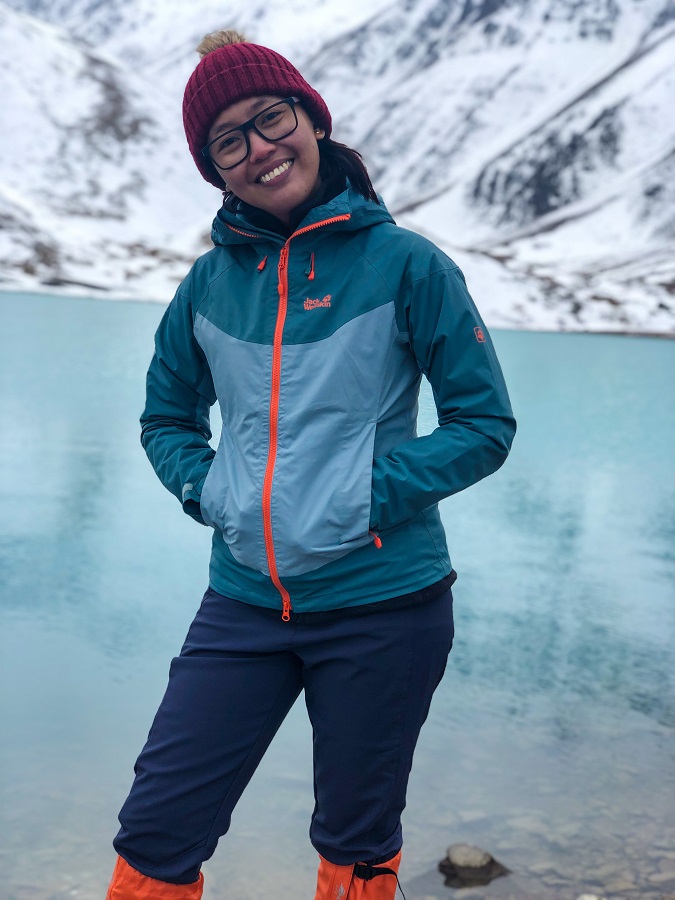
A hike towards a turquoise-blue lake in the middle of the mountain? Sounds a real adventure to me! Inspired by the blog posts of Pashmina of TheGoneGoat and Stephen Lioy of AsiaHikes, I've been eyeing this hike towards Kol Tor Lake for so long. So when I found myself back in Kyrgyzstan, despite not the best season to hike, of course... I went hiking! Want to see Kol Tor Lake covered in snow? Let's go!
Disclaimer: This hike is arranged by Beka @kyrgyzgirl__ with Jamil (@jamil_jumabekov) as our guide. Not my usual cup of tea (to arrange transfers and guides) as I mentioned in my Ala Archa Hike to Ratsek Hut but I opted to arrange one again for safety concerns.
Hiking Trail Overview:
- Route: Hike to Kol Tor Lake (backtrack trail)
- Distance: Total of 11.47 km up and down (according to my Strava record)
- Highest Elevation (elevation of Kol Tor Lake) - 2,733 MASL
- Elevation Gain - 831 meters +/-
- Moving Time: 3h54m (according to Strava record) but clocked at 4 hours up and 2 hours down with rests in between
- Difficulty Level (own opinion): 1 out of 5
How to get to Kol Tor Lake and how to get out?
While a marshrutka from East Bus Station in Bishkek can take you to Kegeti proper, it's still far from the trailhead. There's a 15-kilometer distance between the spot where the driver can drop you off and the actual trailhead. Then you can either hitchhike (with no guarantee) or walk, which is not the best option.
This particular post is the most common trail which is a backtrack trail. It means you will start and finish your hike at the same trailhead. So going back to Bishkek is exactly how you come as mentioned above, a combination of walking or hitchhiking and a marshrutka from Kegeti to Bishkek.
If you don't want the stress and the uncertainty about transportation issues, arrange your transfers in advance instead. It comes with a price of course but you can always negotiate.
Hiking Trailhead:
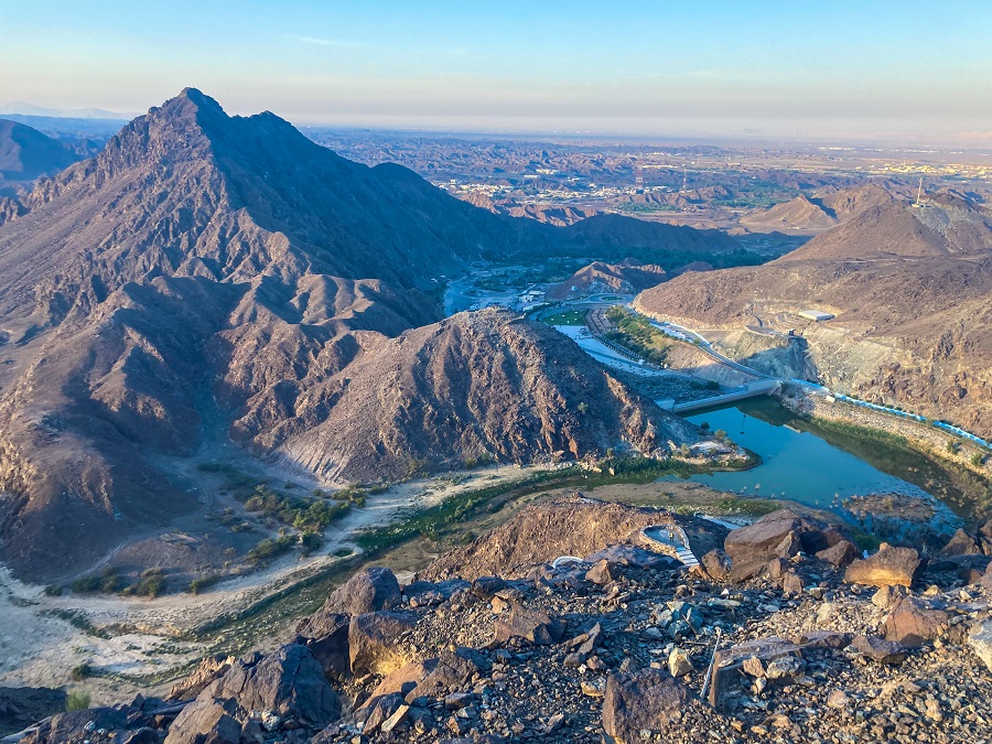
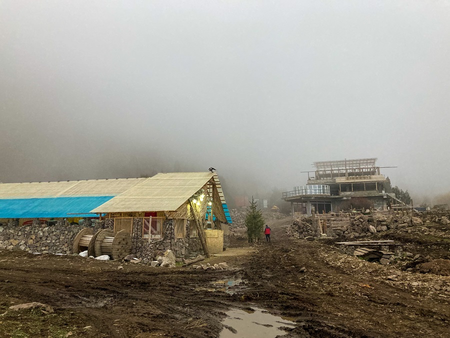
Kol Tor Lake is located in Kegeti Valley, roughly a 2-hour drive from Bishkek. There was an ongoing construction at the trailhead back in October 2022 but it was accessible. The ongoing construction seems like a lodging facility. As told by the locals at the site, the area was being improved as a tourist destination and they are planning to make it as a skiing destination in the future. During my visit, there were a few accommodation options but no restaurants or grocery shops. If you can, stock up in Bishkek with all your necessities and essentials.
You (or your arranged transfers) can drive up to the trailhead without the need for a 4x4. Cars can be parked anywhere (as observed) but of course without trespassing on the property of local homes.
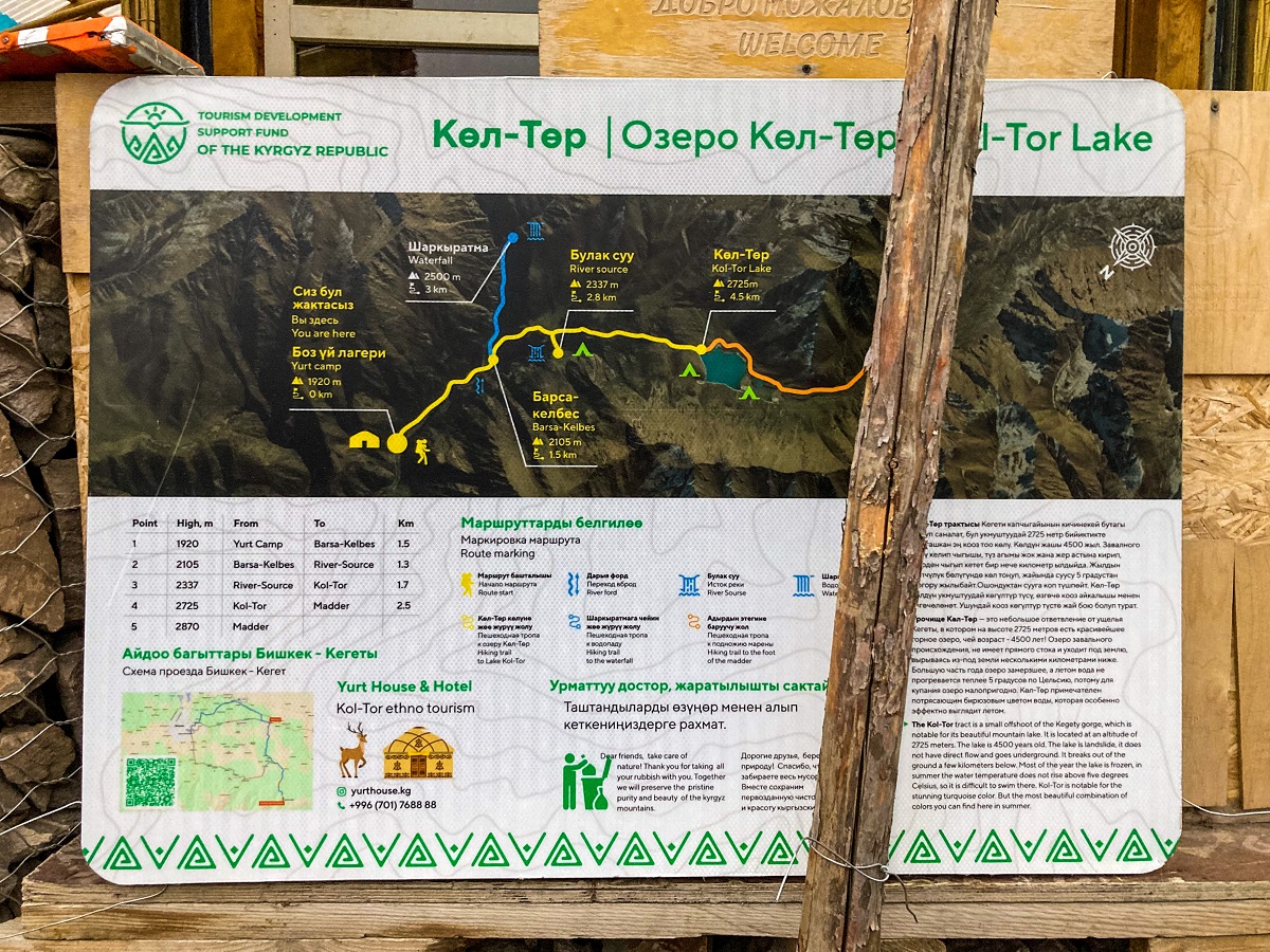
The Yurt Camp (on the map below), which is the last spot you can take your car, has an infographic map of the trail for your reference:
If you're familiar with using coordinates, check this GPS file of Stephen Lioy of AsiaHikes!
Kol Tor Lake - Hiking Trail Sections:
Now on to the main part of the blog, let me break the trail sections into three (similar to the infographic map above). This is for you to be able to identify what to expect along the trail.
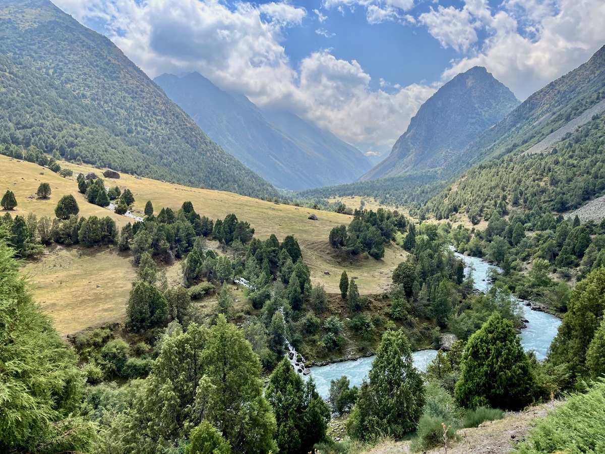
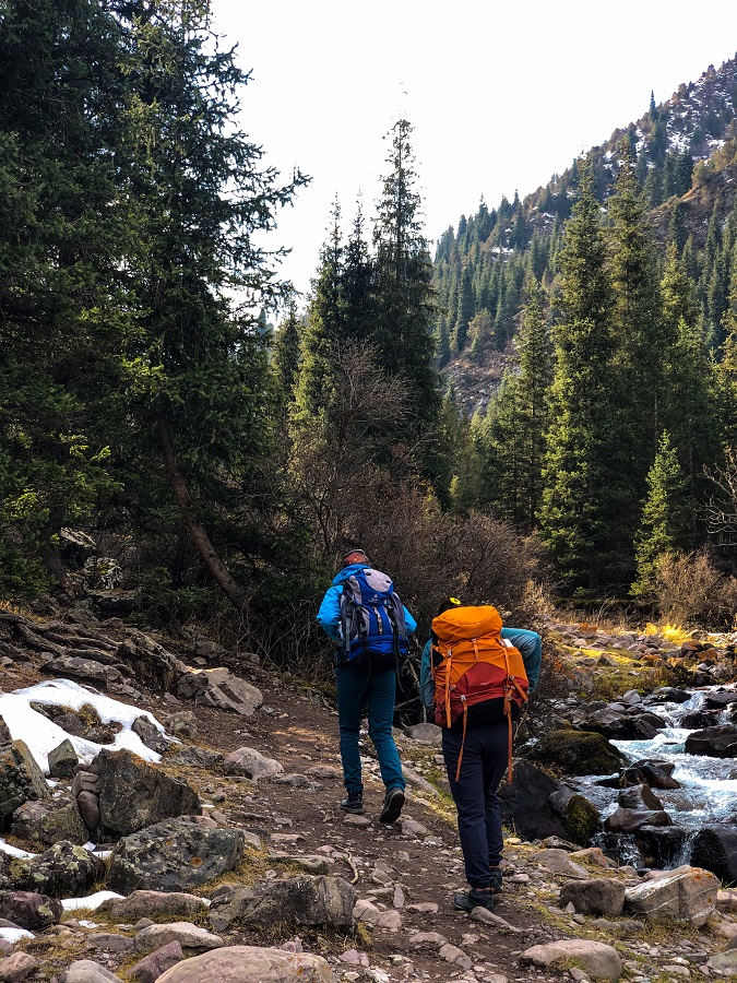
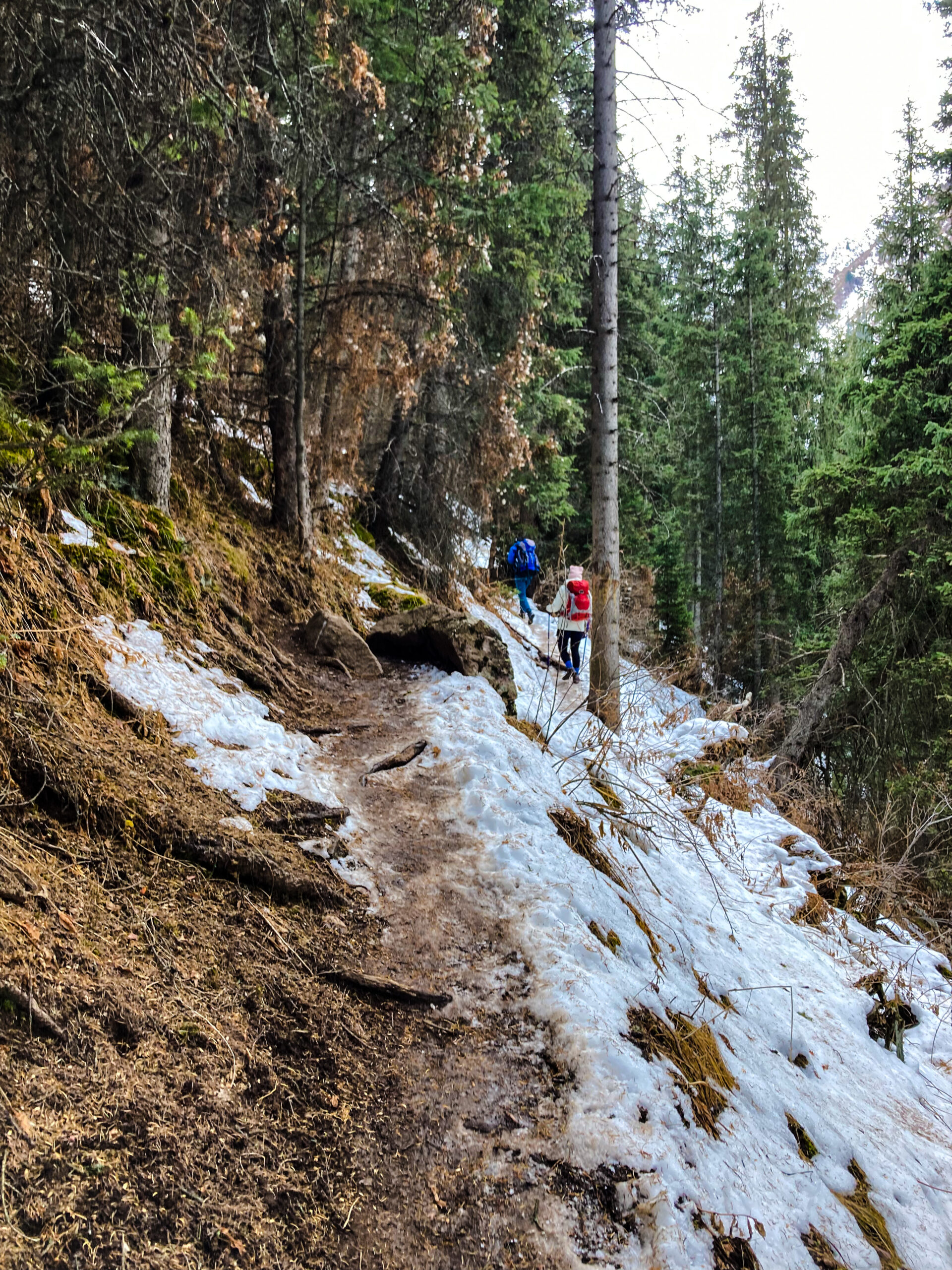
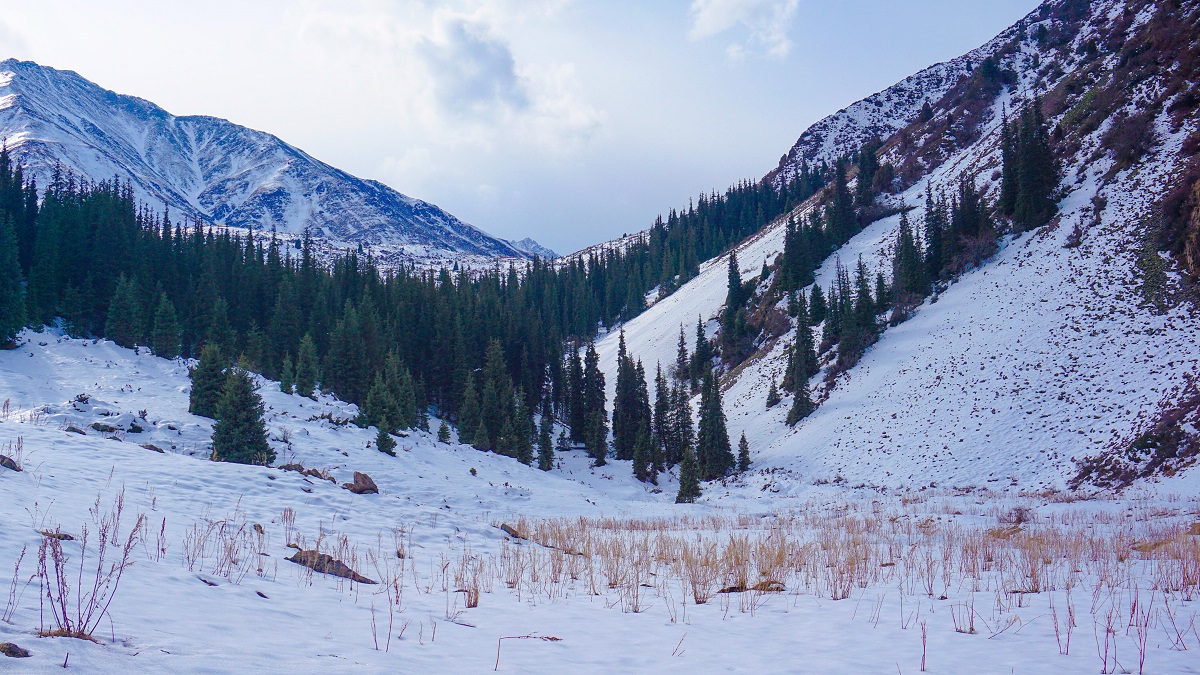
1. Yurt Camp to River Ford
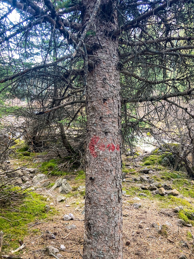
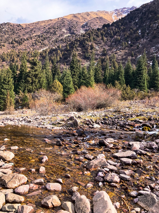
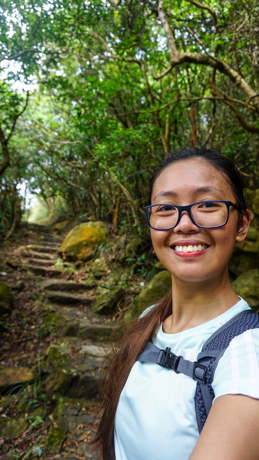
The first part of the trail is an easy walk along the river which should be on your right side most of the time. Expect a short section of woods with lots of Coniferous Trees with a few small clearings in between. I've seen a red arrow (one and only) as a trail sign, but there are no other trail signs apart from this. However, the trail is visible and well-established so just follow the path.
The trail then continues to another clearing with the river ford in front of you. Based on my interpretation from the infographic map above, the shallow river crossing is the river ford. It is shallow to be called a river, but a little too much to be called a puddle hence the term river ford. Cross towards the other side and prepare to hike up.
2. River Ford to the Top of River Source & Saddle*
*The term saddle may not be the accurate technical term but I will keep using it until I find the right term.
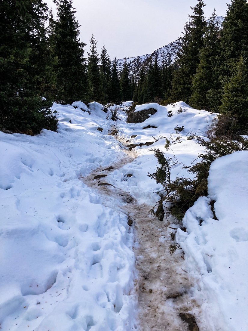
After crossing the river ford, follow the trail on the left side of the valley. The trail will now pick up with the elevation as the trail starts to incline. The steep section may be a little overwhelming but is short (promise!) and it becomes gradual right away.

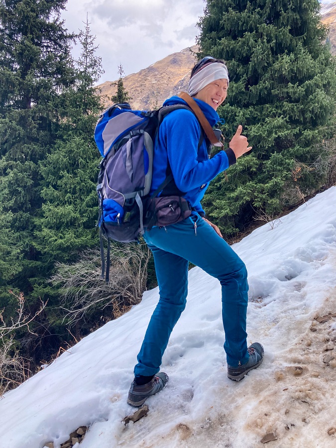
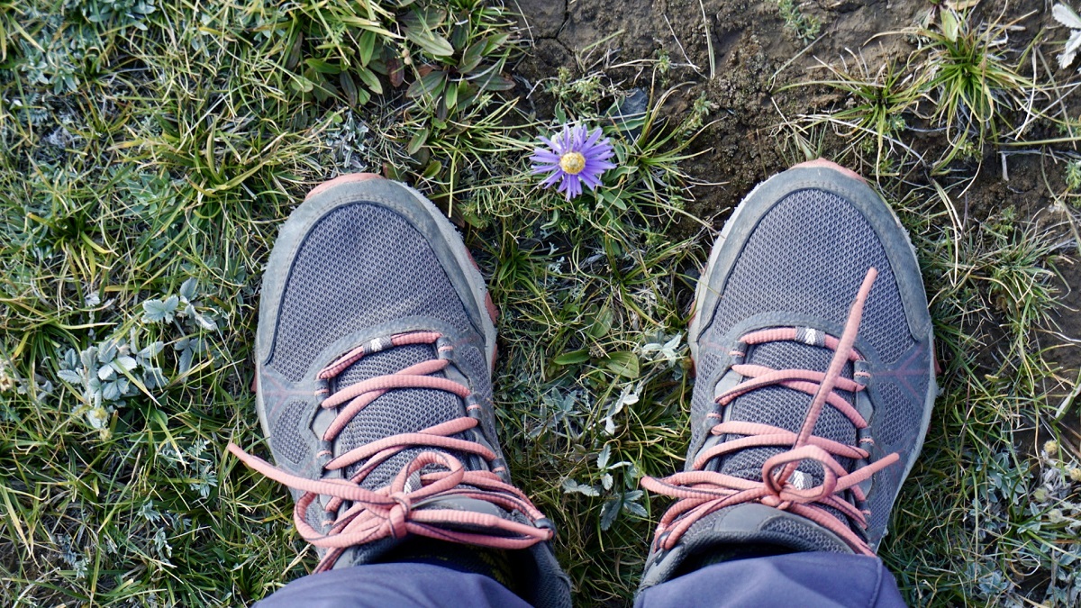
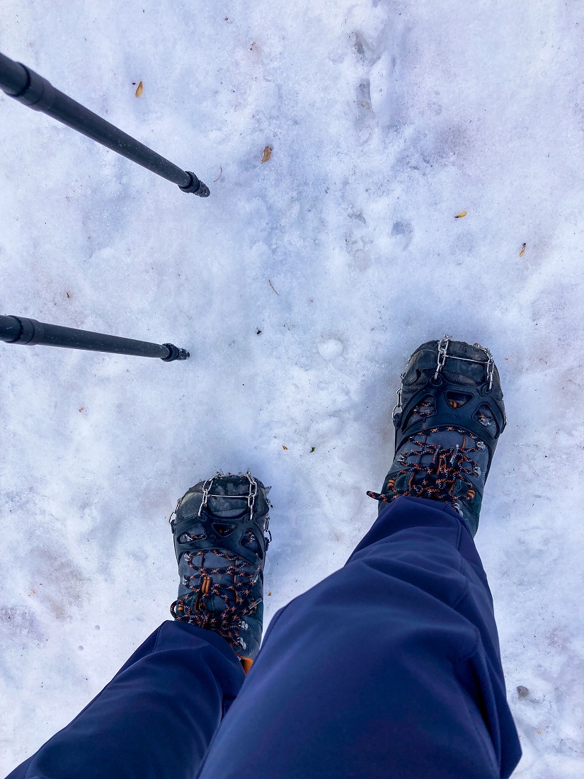
During our hike (October 2022), some parts of the trail are still okay but 60% of the trail is already covered by snow, starting from this section. I bought microspikes* to support me while hiking since my shoes do not have a good grip anymore. Wearing the microspikes made walking in the snow way easier.
*I bought the microspikes from an online shop (@activeshop_kg) based in Bishkek on Instagram.
As you hike higher, you will start hearing the gushing sound of the water on your right. The trail will come close to the river source but you should follow the trail on the LEFT and keep on hiking up.
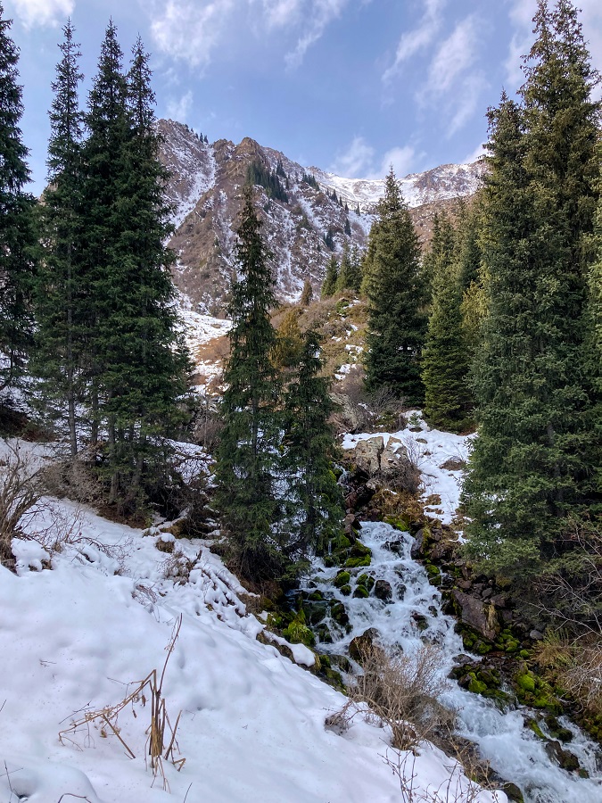
Not long after, is the top of the river source. The water flows out directly from the ground and the trail passes above it so there's no need to cross the river unless you want to play and get wet 😉
At the top of the river source is a big flat clearing of the valley which I will call saddle (for now). The river source is visible from the edge but if you look behind, a snow-covered scenery is a sight to behold!
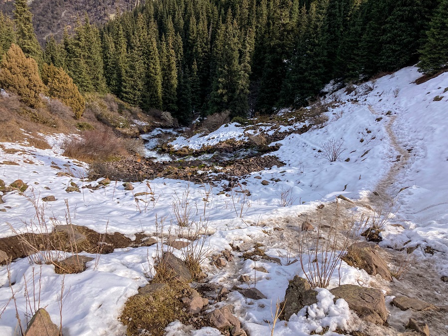
3. Saddle to Kol Tor Lake
The last part of the trail takes you on a gradual walk along the rolling valley. Zigzag your way up as you still see a few conifer trees at the lower part of the valley. They will start disappearing as you approach the slopes of the hill.
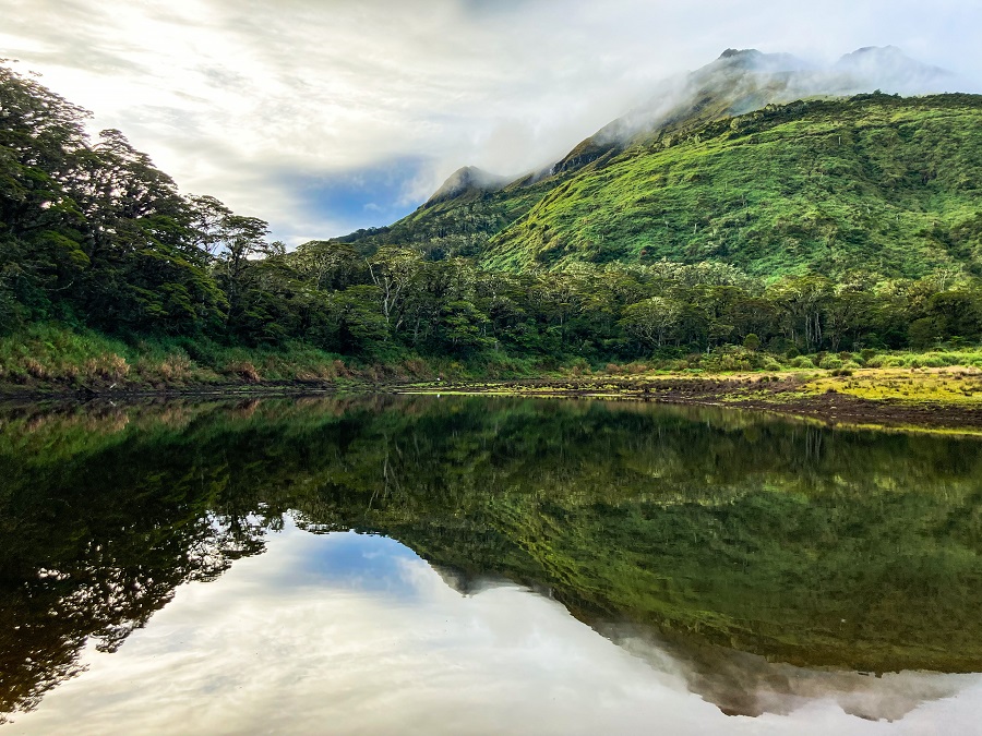
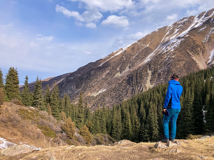
Keep on hiking up and the final slope will unveil the hiding turquoise-blue Kol Tor Lake!
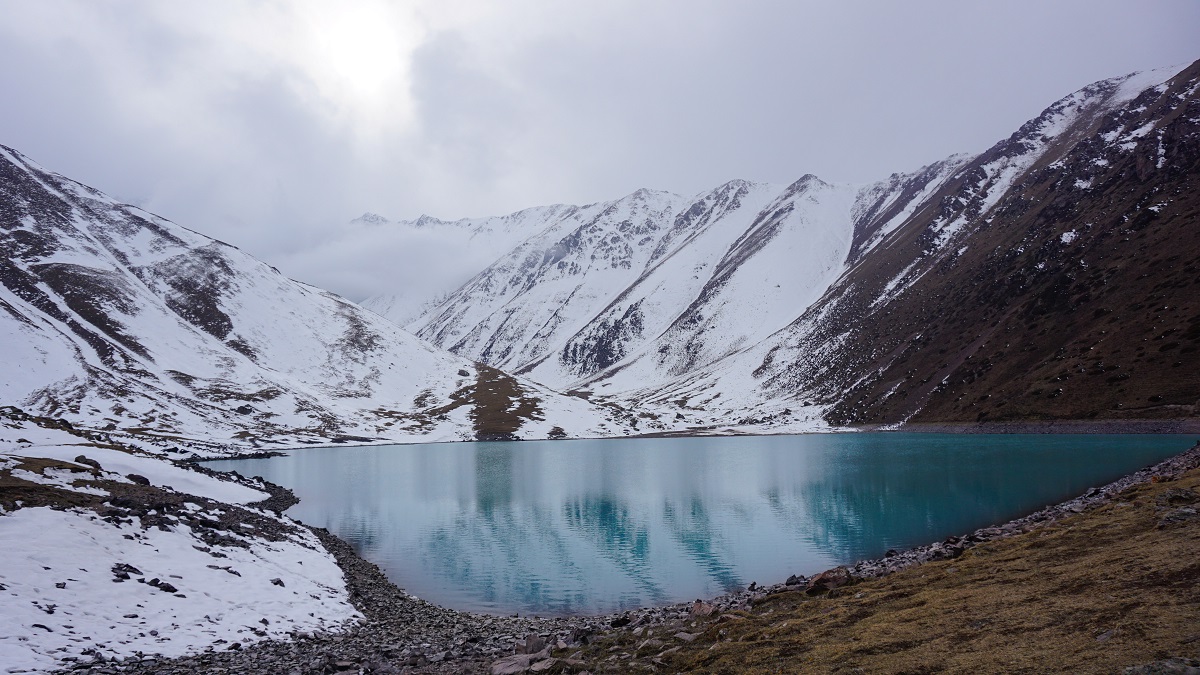
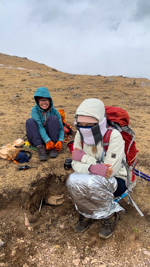
I sat mindlessly anywhere as I (well Beka and I) started suffering from the cold weather but feel free to sit anywhere around the lake. Eat your snacks, enjoy the lake and its striking color, and make your way down from the same trail! 🙂
Personal Thoughts on Hiking the Kol Tor Lake:
As I always say, we all have different adventure appetite or what I call ‘#hikeppetite’ to begin with. So, a good trail for me might not be a good trail for you and vice versa. And that’s completely okay, we don’t need to agree with anyone or everyone all the time. Anyhow, here’s what I think about Kol Tor Lake hike:
Pros:
- The trail is easy to follow (even during winter) if you're familiar with navigating trails. It may be in a better condition during summer. Getting a trail guide is not necessary, but if you're not confident and familiar with navigating trails, please arrange one for your safety.
- There are steep sections along the trail but overall it is short, manageable, and not technical.
- Amazing views! It's picture-perfect almost everywhere and worth the hike and drive from Bishkek!
Cons:
- As almost everywhere in Kyrgyzstan, it's the public transportation issue. Getting to the trailhead by public transportation is possible but not the most comfortable option.
- If you're looking for a challenging hike as part of your training, this trail is not it. I rated it as 1 out of 5 for a reason (but please note that I may have a different hiking appetite from you).
- There were no restaurant and proper toilet facilities (1 outdoor toilet) at the time of my visit (October 2022). A renovation/construction of the area was there back then so the area could have been improved by now.
Albeit quite short for my hike appetite (#hikeppetite), this is such a nice hike regardless of the season. I've seen some summer hiking photos from a Malaysian family I met in Song Kul Lake, and it looks stunning as always. The solitude of the area, the scenery, and the majestic turquoise-blue Kol Tor Lake left me speechless! It's not worth the frostbite though (if you're not good at cold weather like me), but it was worth seeing in Autumn!
If you're looking for a day hike inspiration, don't skip this out! It's doable, rewarding, and refreshing! Enjoy!
Whatever decision you make, always remember to prepare beforehand, stay safe, and last but not least, enjoy the outdoors! #happyhiking!
With lots of love,
PINAYHAKAWATI 💗
AND AS A GENTLE OUTDOOR ETHICS REMINDER:
LEAVE NO TRACE!